
.avif)

For a long time, traditional archaeological surface prospecting (surveying or exploration) was only a secondary tool for detecting sites. These were then undertaken through excavation, the main technique of archaeological research.
However, in the late seventies and early eighties, there was a paradigm shift. The territory is considered to be a more complex entity, made up of different sites interrelated to each other and to the landscape that surrounds them. To aid their understanding, a new concept of superficial prospecting called systematic emerges, which acquires relevance in its own right and which will gradually prevail until it becomes, today, the most practiced.
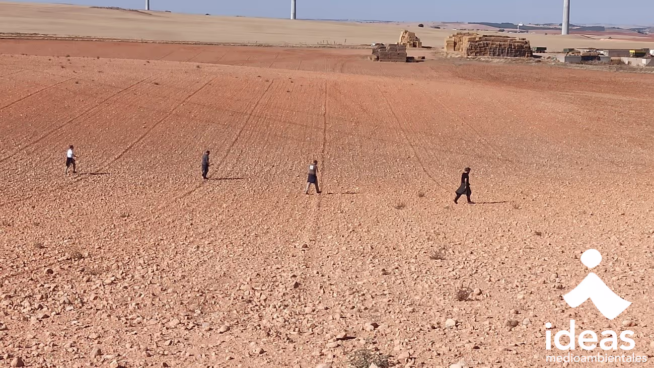
Systematic surface prospecting plans actions on the ground beforehand, studying the cartography of the specific characteristics of each place: watercourses, communication routes, high points or slopes, among other elements. Added to this is a historical analysis of the area, which uses archaeological bibliography and the Toponymy to reveal the existence of already known and new deposits, respectively.
This information is combined with the fieldwork itself, in which global positioning systems (GPS) are used to locate the findings. In case of positive results, at the end of the work, a cloud of points is obtained that must be interpreted correctly. To do this, in laboratory work, we must pass the information we have obtained through different filters, taking into account mainly post-positional processes, which affect archaeological remains once the site has been abandoned by human beings. These processes can be natural (runoff, floods, rain, snow, wind, earthquakes, etc.) or anthropic (intentional destruction, plunder, agricultural work, etc.), but in any case they affect the situation of these remains, which are displaced or disappeared.
For example, a large ceramic group on the slope of a hill does not necessarily imply that the deposit is located in that place, but it can do so in the upper part of the hill and that ceramic has been moved there by post-positional processes. Something similar happens with materials found very close to or in the riverbeds themselves.
If we have carried out the analysis correctly, as a result we obtain an approximate scheme of occupation of the territory, with the different phases in which it has been occupied and the nature of those occupations.
Therefore, it is true that archaeological excavation is still essential to get to know a specific settlement in depth, although it has a series of negative points that archaeological prospecting solves. These include the following:
- High economic cost: an excavation requires a lot of resources: personnel, tools, bagging and labeling material, a place to store the remains until they are moved to the museum, etc. For its part, prospecting requires only a minimum of personnel with GPS equipment that, thanks to the democratization of technology, is increasingly affordable.
- Destruction of archaeological contexts: excavation is a destructive method, since the part of the context - information associated with the site - that is not properly documented is irreversibly lost. In addition, although the procedure has been very rigorous and everything has been thoroughly documented, it is likely that in the not too distant future there will be more precise techniques that will improve the results obtained.
- Degradation of the reservoir: the excavation requires subsequent consolidation and/or restoration to preserve the structures brought to light in the best possible condition. However, if, as we saw before, excavation is already expensive, maintaining what has been excavated is even more expensive in the long term, so that in many cases these structures deteriorate without additional economic equipment.
For all these reasons, archaeological prospecting has become a fundamental tool in the hands of public administrations to address land planning. The results obtained are reflected in different instruments, such as the Archaeological Letter Or the General Urban Planning Plan (PGOU), which help to achieve urban development compatible with the protection of Historical Heritage.
Juan Antonio Moral, Archaeology
Ideas we share
What we really think. 0% spam contamination

.avif)
Tramitación proyectos almacenamiento de energía mediante baterías


Estudio de Impacto Ambiental para la repotenciación de parques eólicos: claves, ventajas y oportunidades
Join the tribe. Work at Ideas Medioambientales.
Una oportunidad emocionante en el campo de la consultoría medioambiental. Trabaja en proyectos apasionantes que tienen un impacto positivo en el medio ambiente y la sostenibilidad. Únete al equipo y sé parte del cambio.

